

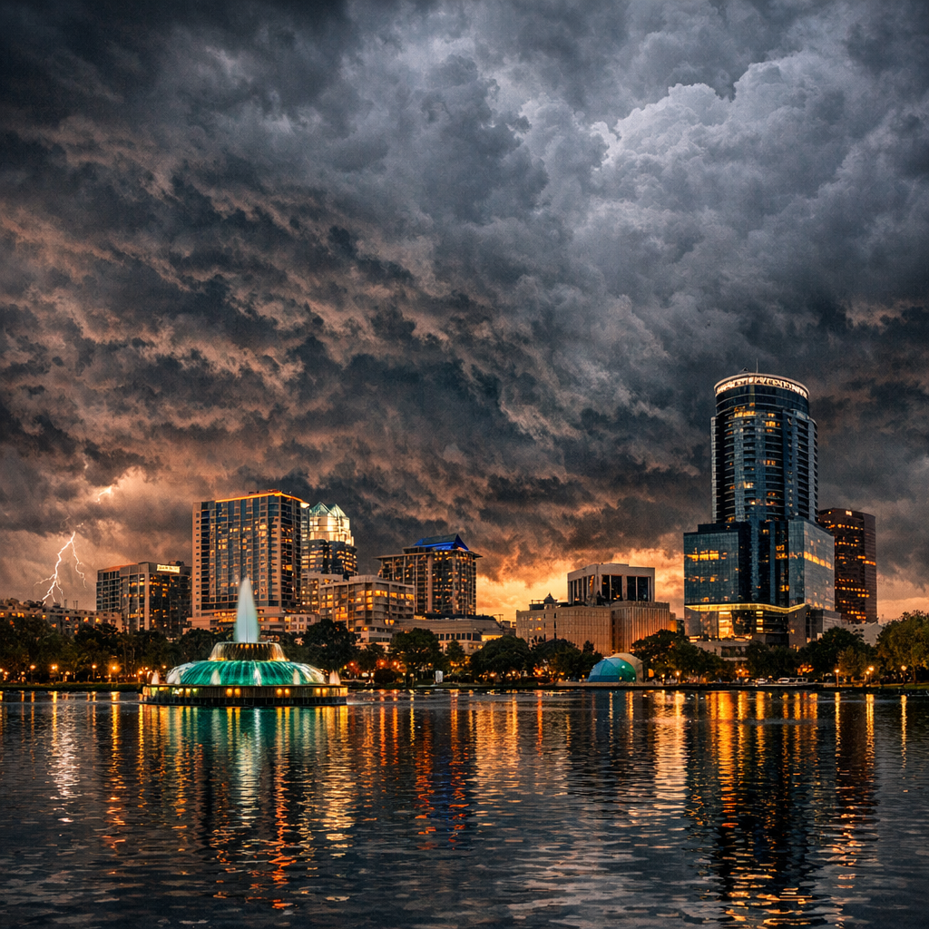
By Daniel Torres – covering how Central Florida’s weather and environment shift through the year, and what locals need to know.
1. Wet and Dry Seasons: What to Know
Orlando experiences two primary seasons that define rainfall and temperature patterns. The wet season typically begins in late May and stretches until mid-October. This is when most of Orlando’s precipitation occurs, including frequent afternoon thunderstorms and heavy downpours. The wetter months often bring the highest rainfall totals. Conversely, the dry season runs from mid-October through May, with lighter and less frequent rain, especially during winter and early spring. The transition months can still see spurts of moisture depending on weather systems.
Average temperatures during the wet season tend to climb, with summertime highs often in the low 90°F (around 90-92°F), and overnight lows staying warm. During the drier months, daytime highs are milder—often in the 70s to low-80s—and nights cooler, occasionally dipping near 50-55°F on chillier winter nights.
2. Air Quality and Environmental Health
Air quality in Orlando is generally rated as acceptable, but ozone pollution (smog) and fine particulate matter can spike during hotter, sunny days—especially through the wet season when heat and humidity amplify ground-level ozone formation. The American Lung Association’s recent report placed Orlando in a mid-ranking among U.S. metros for ozone days, showing slight improvement but highlighting continued concern about emissions from vehicles and industrial sources.
Particulate pollution—PM2.5 and PM10—is also monitored closely. These particles, often produced from combustion (like engines or wildfires), can worsen on stagnant air days or during smoke events. Vulnerable populations—children, older adults, those with respiratory conditions—should watch local air quality forecasts and limit outdoor exertion when pollution levels are elevated.
3. Why Local Geography and Climate Matter
Because Orlando lies well inland from the coast, it doesn’t get the direct marine cooling some coastal Florida cities enjoy. That means summer heat and humidity can feel intense. At the same time, winters are relatively mild, yet Orlando can still experience occasional cool snaps. The landscape—urban development mixed with green canopy—plays a role: well-treed areas tend to stay cooler and reduce the urban heat island effect.
The city’s environment is shaped by its stormwater systems, lakes, wetlands, and parks. During wet months, runoff can impact lake levels and water quality; during dry periods, water conservation becomes critical. Protecting sensitive lands, maintaining tree cover, and enforcing environmental protection ordinances help buffer these impacts.
4. What Residents Can Do
- Track the forecast—especially when the wet season begins—to plan around heavy rains or storms.
- Pay attention to air quality alerts; on high-ozone or high-particle days, limit vigorous outdoor activity.
- Support tree planting and green canopy initiatives to cool neighborhoods and improve air and water quality.
- Practice water conservation during drier months—using rain barrels, efficient irrigation, and avoiding over-watering landscapes.
- Stay informed about environmental ordinances and local conservation efforts, especially around wetlands and sensitive lands.
Understanding Orlando’s subtropical climate—its wet and dry cycles, heat and humidity, and environmental sensitivities—helps residents live more comfortably and sustainably all year long.